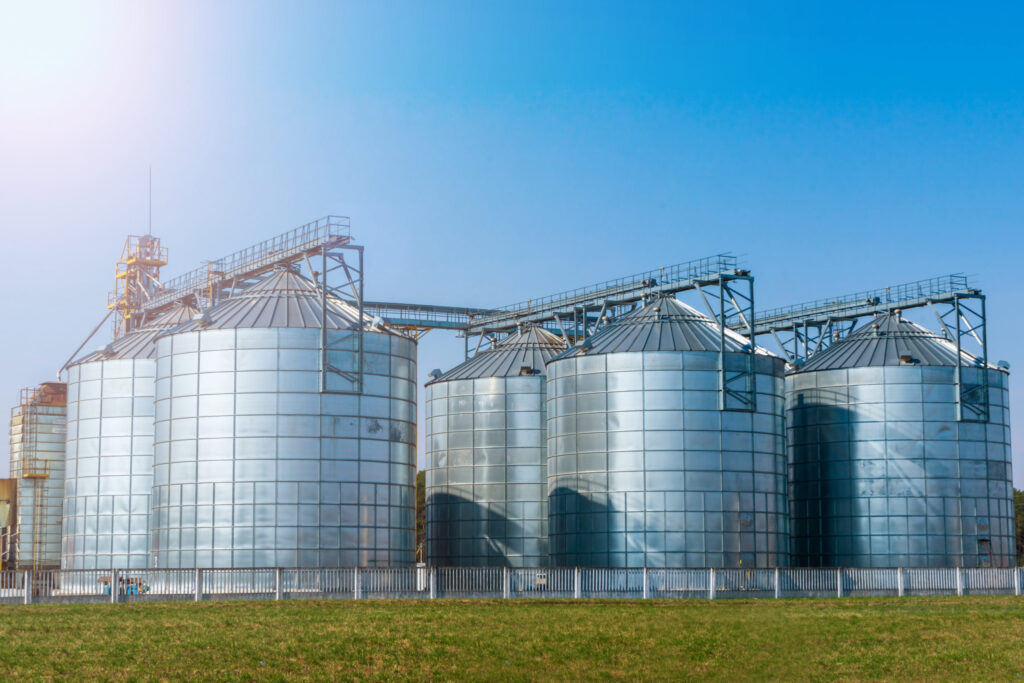

The derecho of August 10, 2020, and the damage it caused, revealed serious vulnerabilities of agricultural buildings and infrastructure. This derecho trekked across northeast Nebraska, nearly all of Iowa, and into Illinois and Indiana. It produced estimated wind gusts that exceeded 100 mph (highest officially measured was 99 mph) and more than 700 severe wind reports. The derecho damaged over 8,200 homes and businesses, flattened crops, and damaged or destroyed metal grain bins.
Grain bins, and most other farm buildings, have historically been exempted from many of the conformance requirements routinely applied to other types of structures in local building codes. This is because state and/or local laws frequently exempt these structures from building code regulations due to lower risk to human life than other structures.
The International Building Code® (IBC) classifies farm buildings (e.g., grain bins, barns, etc.) in Use Group U—utility and miscellaneous structures. Appendix C of the IBC provides some guidance as to height and area limitations of these buildings based on the type of construction material (e.g. steel or concrete). Appendix C is not adopted by most jurisdictions.
IBHS conducted a review of the building permit/construction regulations for farm buildings in hurricane prone areas and along tornado alley (i.e. Virginia, Florida, South Carolina, Iowa and Indiana). These surveys indicated buildings that are primarily constructed or adapted for agricultural purposes are exempt from zoning and building code requirements and usually do not need a building permit.
NOAA Weather
Tampa, FL
Last Updated on Jun 5 2024, 6:53 am EDT
Weather by NOAA
Current Conditions: Fair

Temp: 77°F
Wind: SE at 5mph
Humidity: 88%
Dewpoint: 73.0°F
 National Hurricane Center
- Subtropical Storm Josephine Graphics October 22, 2026Wind Speed Probabilities last updated Thu, 22 Oct 2026 02:57:58 GMT
- Subtropical Storm Josephine Forecast Discussion Number 2 October 22, 2026Issued at 1100 PM AST Wed Oct 21 2026 000 WTNT45 KNHC 220256 TCDAT5 Subtropical Storm Josephine Discussion Number 2 NWS National Hurricane Center Miami FL AL102026 1100 PM AST Wed Oct 21 2026 Convection associated with Josephine has waned this evening. The latest satellite images show shallow to moderate convection in bands over the […]